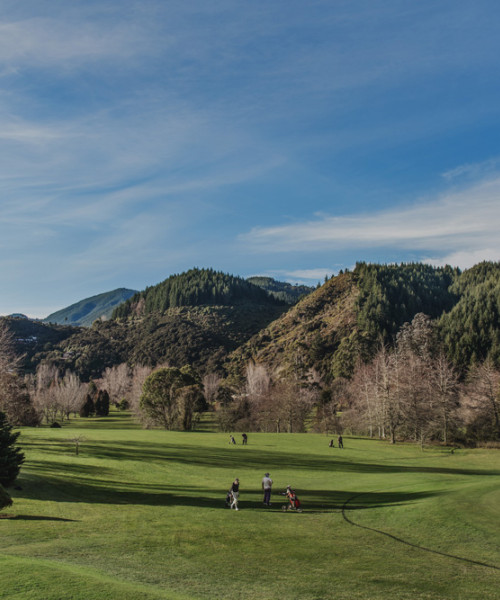
Conservation
Kūmānu takes to the air
Drone for Environmental Mapping
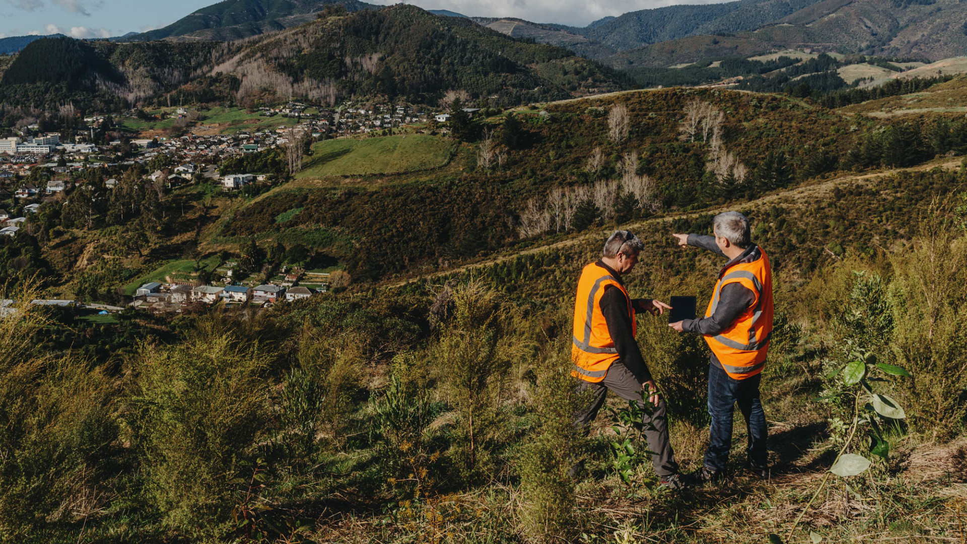
Our Kūmānu Environmental (Kūmānu) team are embracing innovative new technologies to secure its future ability to grow new business and continue to deliver high quality services within the environmental contracting space.
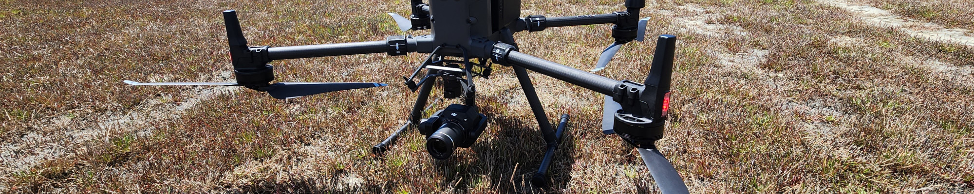
Kūmānu have taken to the air with the latest commercial drone platform released from DJI - a Matrice 300 RTK Remote Pilot Aircraft System (RPAS), commonly referred to as a drone. Drones can easily fly over large areas of land, capturing various types of data to aid mapping and environmental monitoring. They can complete this type of work far more swiftly and cost effectively than other conventional methods. Drones were an essential technology in providing fast, accurate and up-to-date critical information following recent serious environmental events, including in Tasman after the August 2022 flood event and across Aotearoa following Ex Tropical Cyclone Gabrielle.
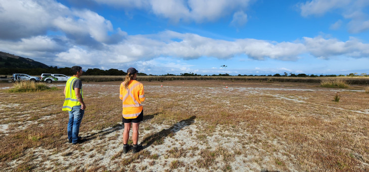
Flight training for NZCAA RPAS (drone) Part 101 Certification.
Equipped with a Zenmuse P1 45-megapixel photogrammetry camera, the drone can capture spatially accurate, high-resolution images for both 2D and 3D applications. This high-quality imagery can then be utilised by other technology solutions such as AI, to efficiently analyse and classify imagery with a much greater level of accuracy and confidence than lower resolution satellite photos. Kūmānu has also invested in ESRI Geographic Information Systems (GIS) software products, including Drone2Map and ArcPro for data processing and analysis. This compliments a growing GIS capability within the wider Nelmac Kūmānu business. One of the impressive features of the camera is the Smart Oblique flight mode. When the drone is in flight the camera takes a traditional birds’ eye view photo then automatically transitions to a 45-degree angle capturing images from 0o, 90o, 180o and 270o. This provides a greater level of detail on the edges or faces of objects that may be obscured from a bird’s eye view e.g., riverbanks or building details below the roof overhang, such as fascia details.
The opportunities and applications for drone data are almost endless and an exciting space for Kūmānu to be entering. Some of our most recent work has been to provide imagery for our landscaping team of their work site enabling them to provide up-to-date locations of new water services; mapping of private property for use by our landscape architect team; and surveying and mapping of waterways to perform gravel accumulation analysis.
With Ground Control Points (GCP) and Real Time Kinematics (RTK) we can consistently achieve < 3cm accuracy, which is the standard required for construction and civil works projects. We also have a RTK base station allowing us to fly our drone outside of cell phone coverage in more remote locations and still achieve the same levels of accuracy.
During a recent survey in the Maitai River from a survey height of 120m above ground level, we were able to achieve an average Ground Sampling Distance (GSD) of 1.27cm. GSD is how we measure the quality/resolution of the images captured. In this case, each pixel in the imagery is on average 1.27cm of actual ground cover, which allows you to zoom in to an exceptionally high-quality image.
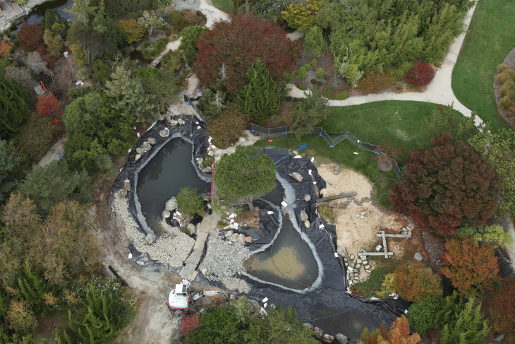
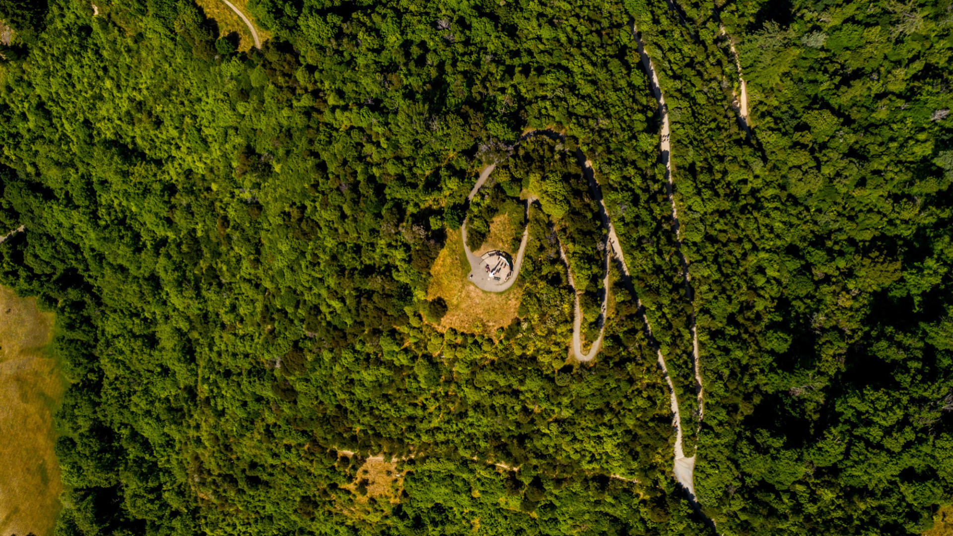
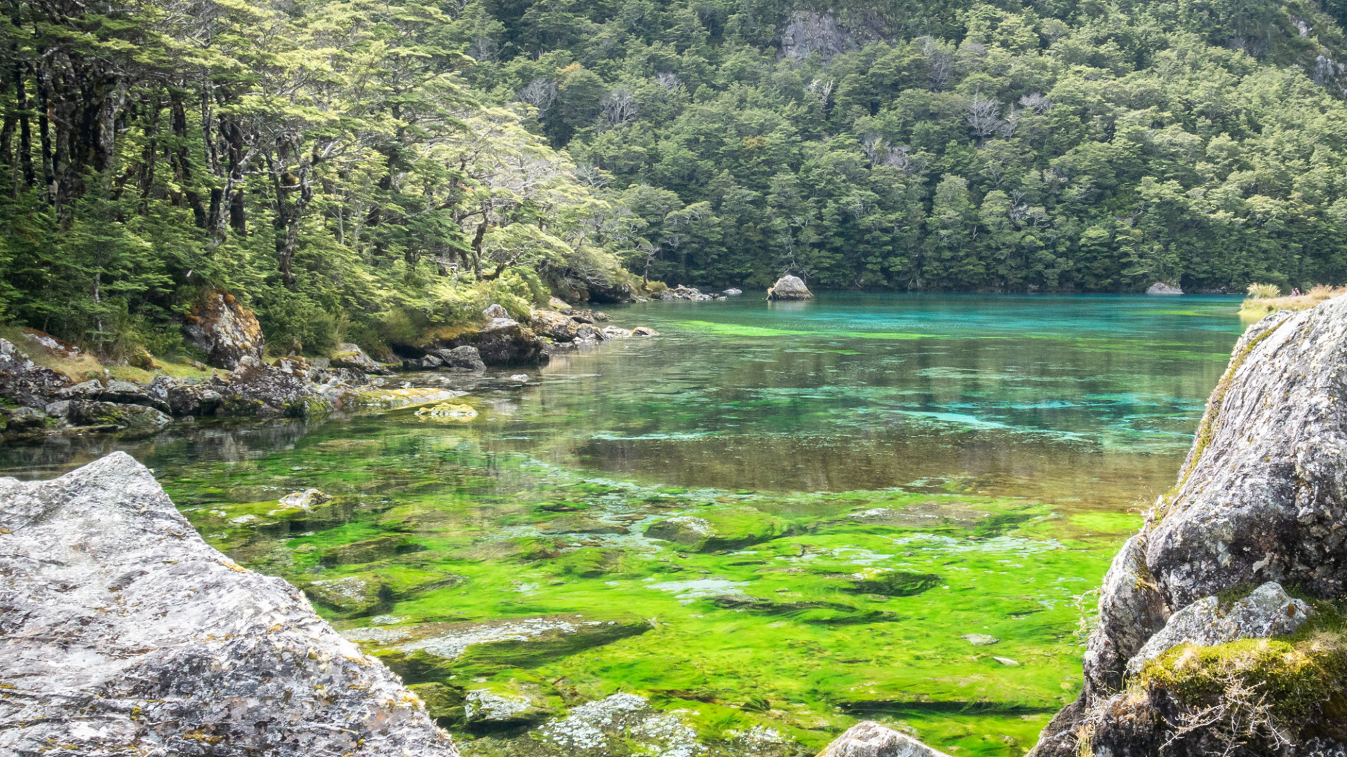
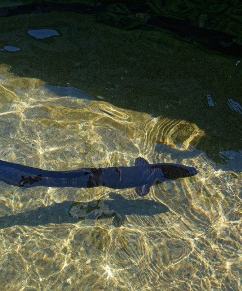
Miyazu Pond relining, captured with the Zenmuse P1 camera
We are excited to see where this investment into technology can take the business, we know it can improve current services and we are looking forward to seeing what new clients and business we might generate from deploying our drone services across Aotearoa.
If you have an upcoming project where drone technology might benefit you, please reach out to our team, Nick Sparks, Jared Waters or Joanna Taylor at Drone@kumanuenviro.co.nz to discuss the possibilities.
Looking for a conservation partner for your next project? Contact Nelmac on 0800 635 622 to learn more.