
Drone Services
Kūmānu has recently invested in the utilisation of drone technology and is currently operating a DJI Matrice 300 RTK drone platform fitted with a Zenmuse P1, 35mm, 45 mega pixel camera. We believe this combination will offer clients a higher level of professional services and creates exciting opportunities for our business going forward.
We are Part 101 certified with the Civil Aviation Authority and have capacity to operate under 102 certifications where required for special operations. This allows us to work with air traffic control to operate legally and safely around, controlled air space near airports, unmanned aerodromes and other restricted flight zones if required. We can work in both remote locations and urban areas safely and with a high level of accuracy.
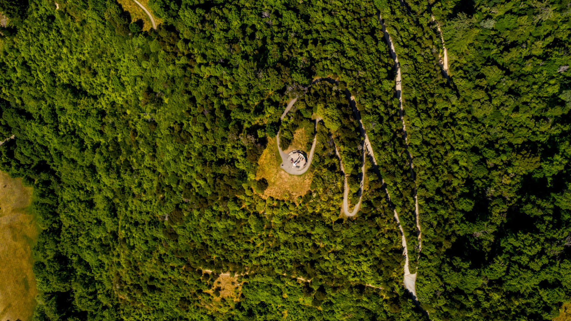
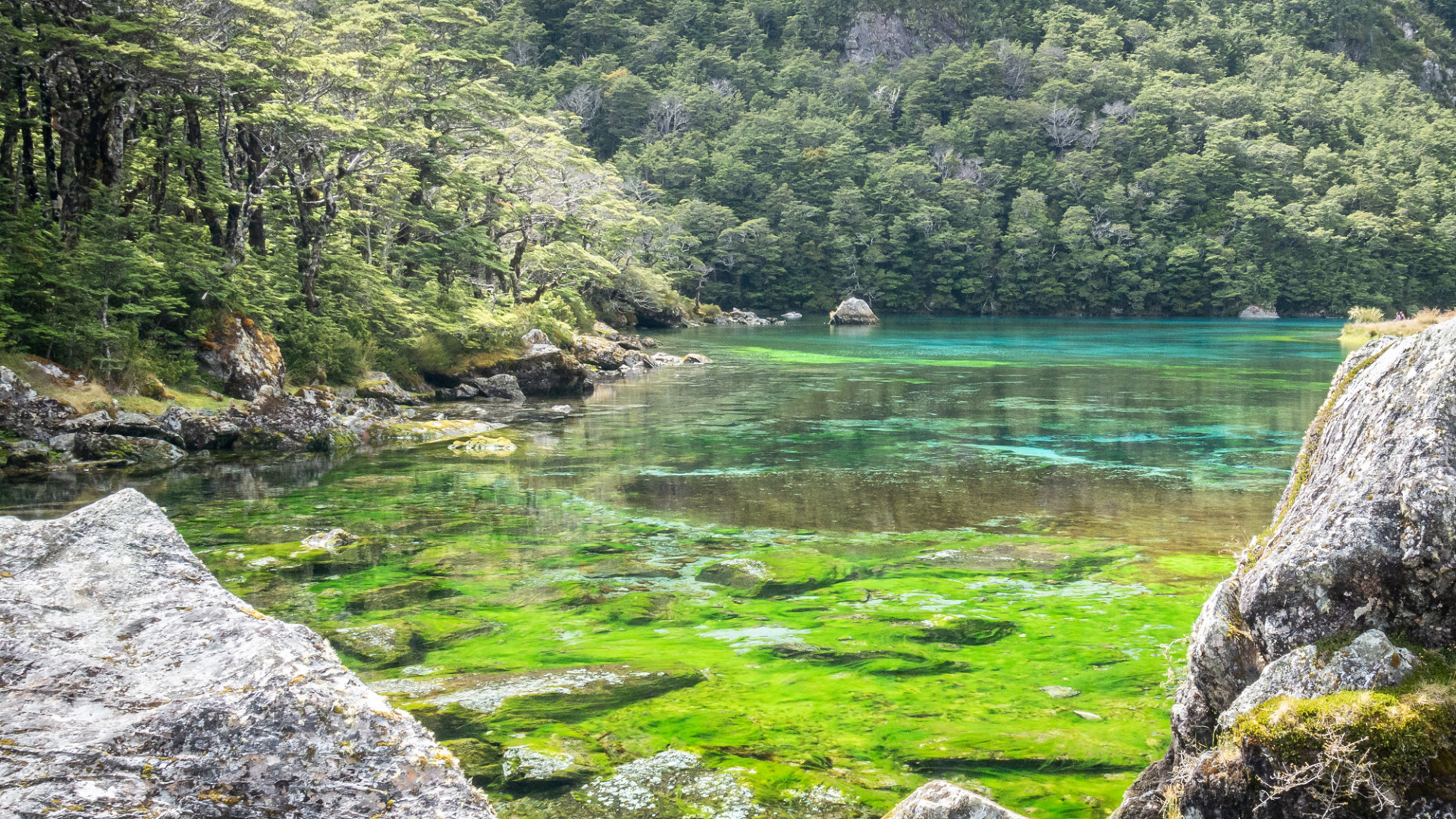
We have experience with survey/mapping operations, gravel extraction volume quantifying and landscape architecture 3D rendering. In combination with our ecology, restoration planting, biosecurity and GIS analysis services we are able to deliver an end-to-end product.
Our Services
Aerial Surveying and Mapping
- Nadir (straight down) or Oblique (angled) Imagery
- Georeferenced imagery with sub three-centimetre accuracy for civil works and construction.
- 2D Orthophotos for mapping
- 3D Models
- Digital Surface Models
- Volume calculations
- Project Planning
Photography and Videography
- Before and after photos or videos of your project for tendering or reporting
- Photo point and environmental monitoring
- Photos and video for marketing
Data Analysis
Kūmānu has an inhouse team offering Geographic Information System (GIS) services. Using a suite of ESRI GIS products our team can provide data analysis (e.g vegetation classification) of your imagery and find solutions for any of your output needs.
For more information, contact:
Jared Waters
Jwaters@kumanuenviro.co.nz | 027 235 9133
Nick Sparks
nsparks@kumanuenviro.co.nz | 021 568 607
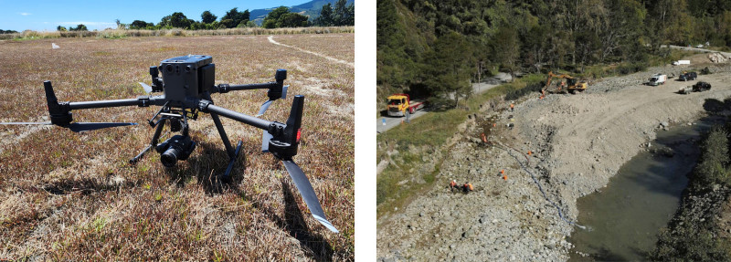
Left: DJI Matrice 300 and Zenmuse P1 photogrammetry package | Right: Maitai River 2023 – Drone surveying for measuring gravel extraction volumes | Images: © Kūmānu Environmental
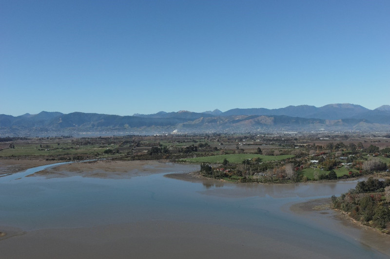
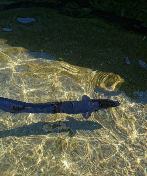
Tasman Region, 45 mega pixel camera for high quality still photos | © Kūmānu Environmental